
CHCNAV ViLi i100
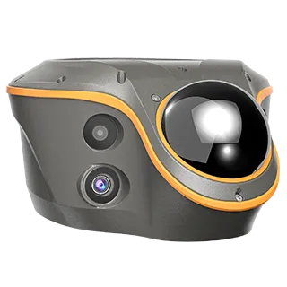
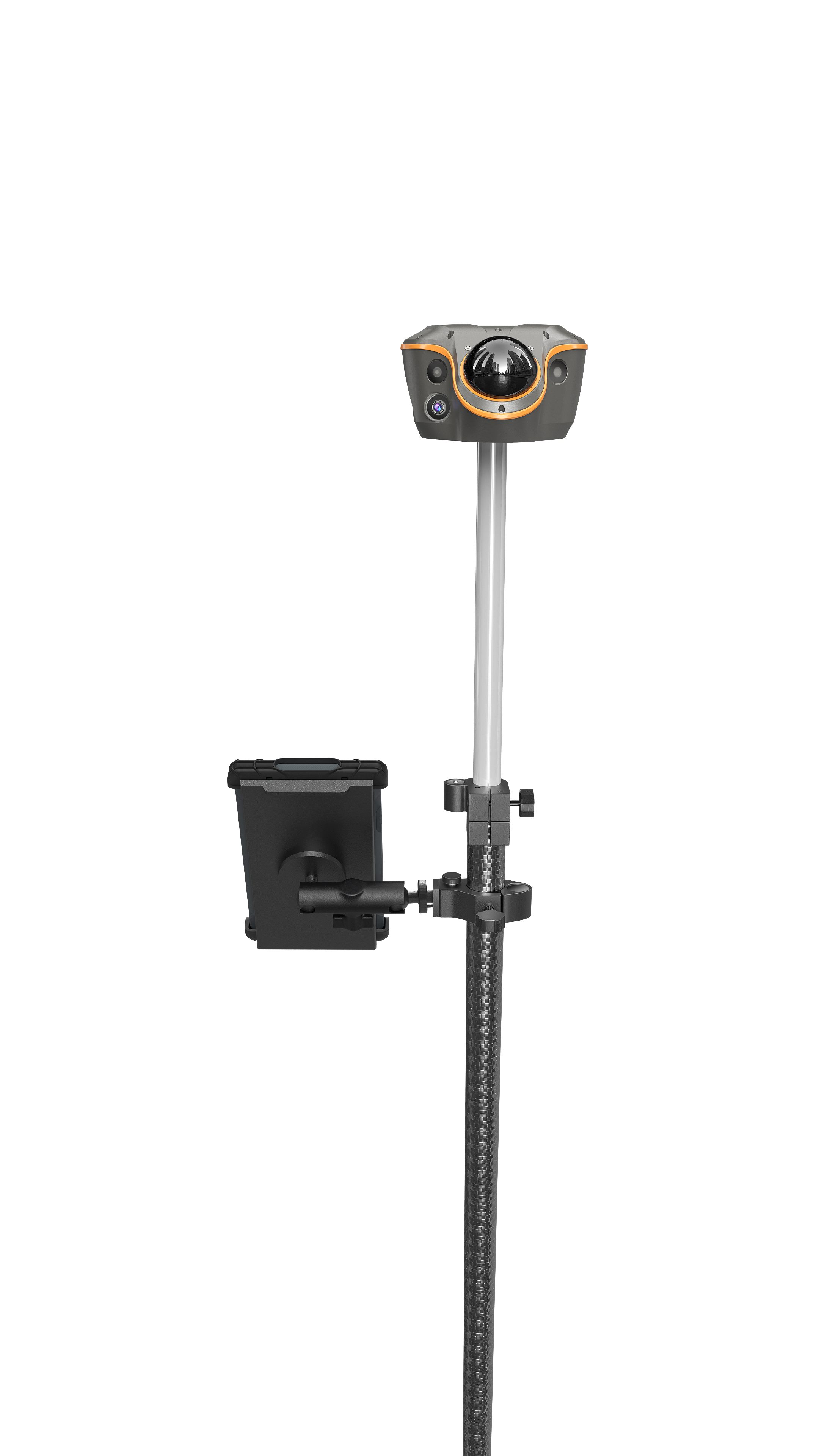
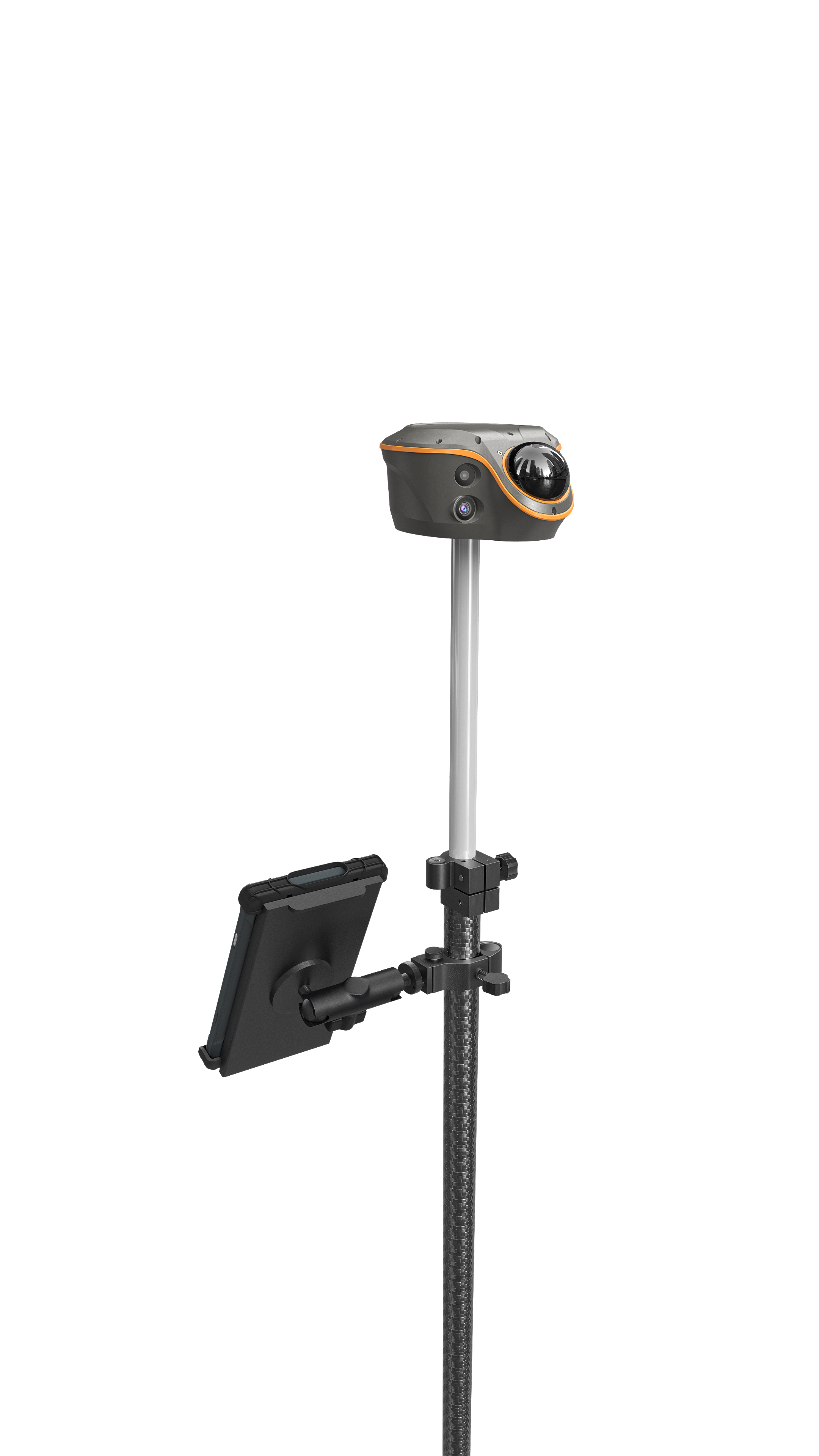
Versatile Visual-LiDAR RTK
Once Right, Always Right — Confident and Consistent Accuracy in Obstruction.
SFix 2.0 — Reliable 0.16 US ft Accuracy within 66 US ft in GNSS-Denied Areas.
Real-Time 3D Point Cloud Earthwork Calculation: Accurate, Fast & Safe.
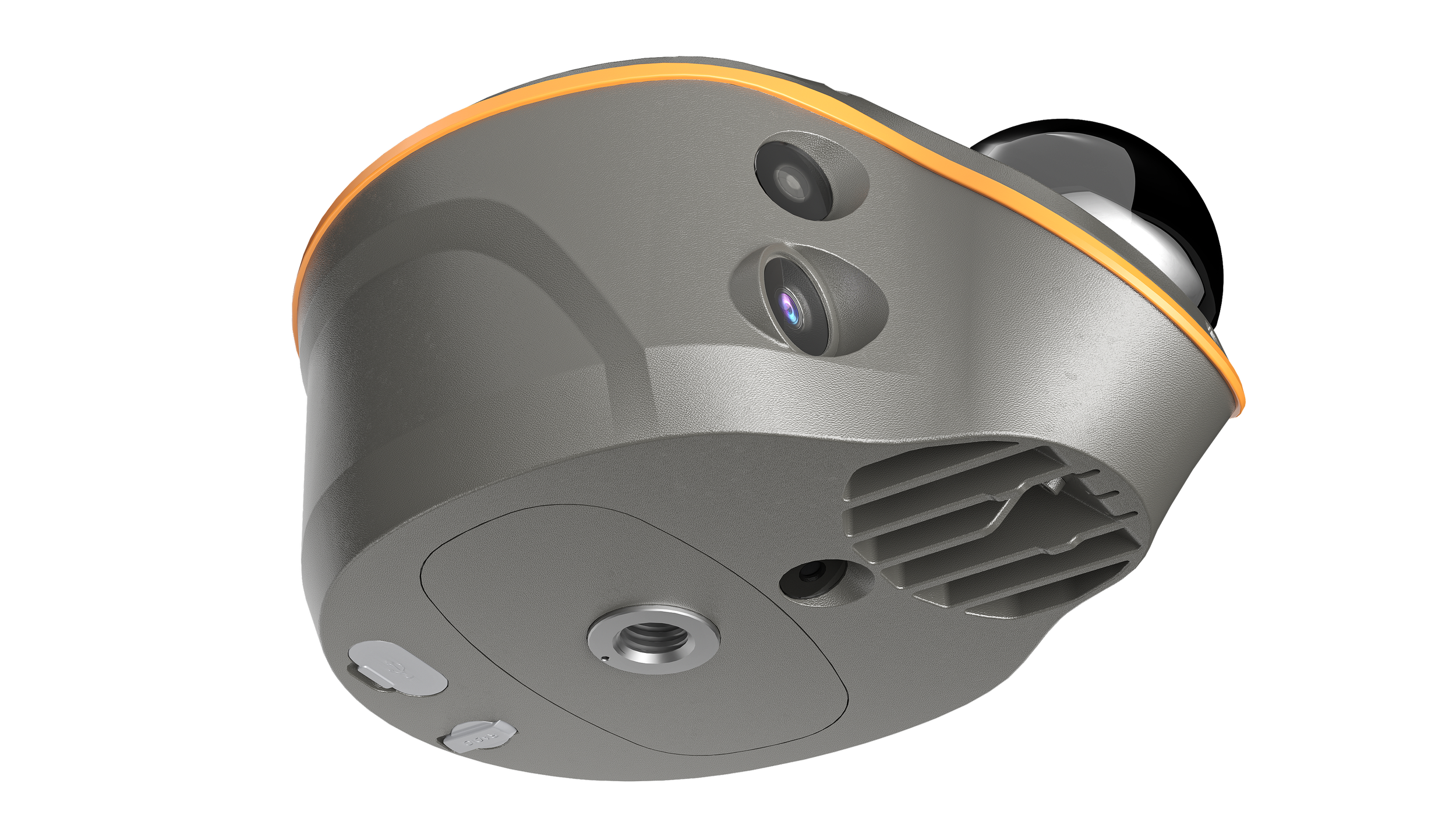
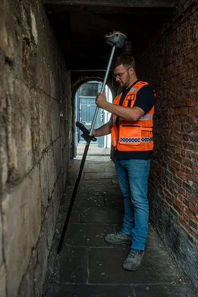
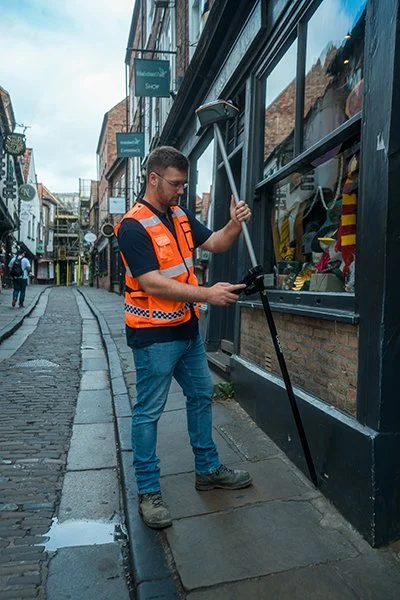
Vi-LiDAR: Take a Photo, Capture Points to Survey, No Need to Aim or Stay Rock-Steady.
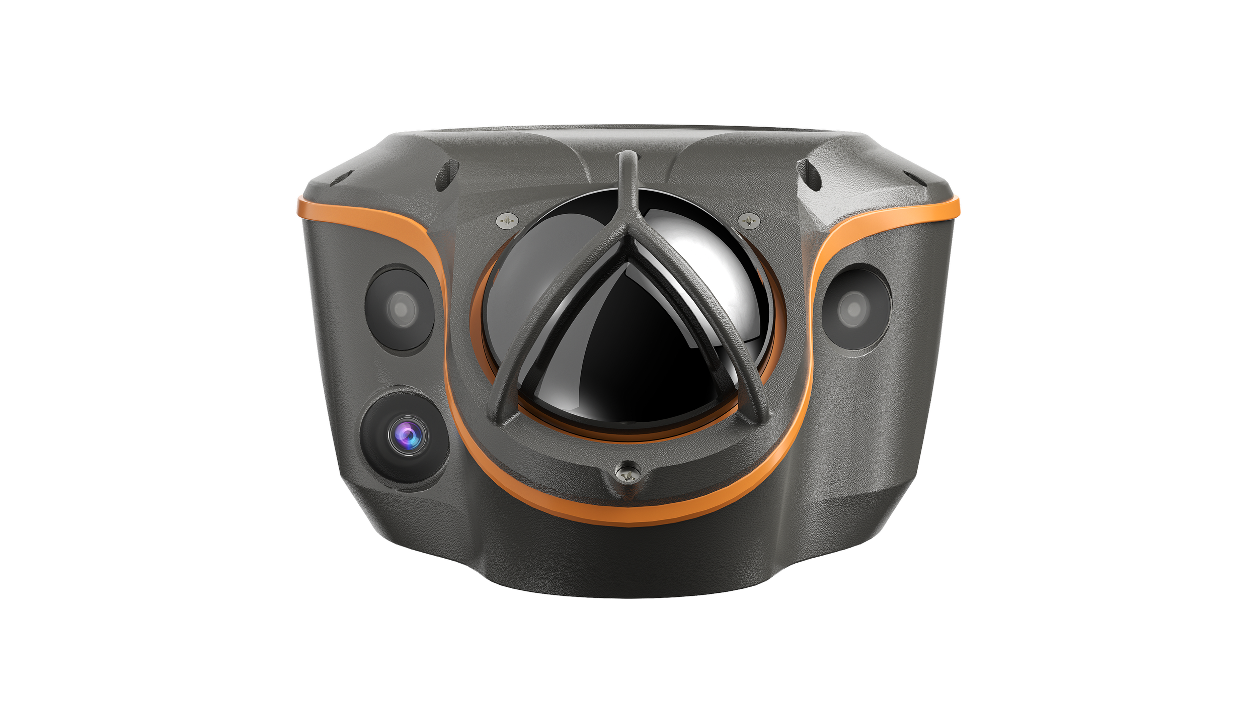
All-in-One Flagship GNSS Receiver: With All Conventional Features Involved.
HIGHLIGHTS
The ViLi i100 is CHCNAV's flagship Visual-LiDAR GNSS RTK receiver for next-generation of high-precision surveying. With advanced GNSS satellite signal filtering, multi-sensor fusion, SFix 2.0 algorithms, and integrated Vi-LiDAR, it ensures consistent centimeter-level accuracy.
Designed for complex environments, the ViLi i100 enables precise data collection across diverse terrains, enabling users to work confidently even beyond the traditional limits of GNSS.