Explore Our Products
Surveying & Engineering
CHC Navigation delivers advanced land surveying equipment designed for professionals in surveying, engineering, and construction. From GNSS smart antennas and rugged data collectors to powerful geospatial software solutions, our technologies ensure centimeter-level accuracy for topographic surveys, construction layout, and as-built surveys. With reduced operational costs and increased accuracy, you can complete projects quickly and efficiently.
Mobile
Mapping
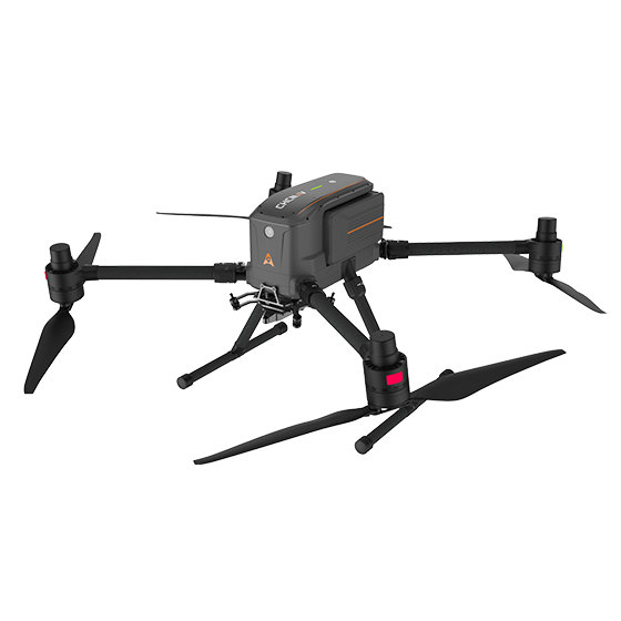
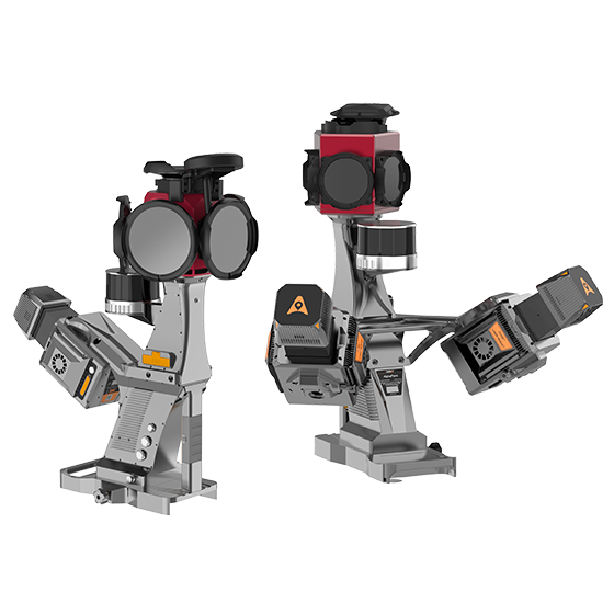
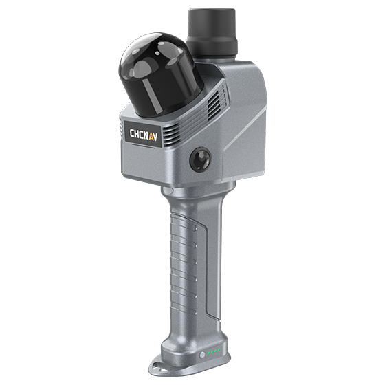
CHC Navigation delivers advanced 3D mobile mapping solutions that integrate UAVs, LiDAR, SLAM, UAS cameras, and point cloud processing software. Designed for accurate reality capture, our solutions streamline drone mapping, infrastructure inspection, corridor surveys, and smart city development, improving geospatial data quality across every project.
Hydrographic Surveying
CHC Navigation’s hydrographic surveying solutions combine autonomous USV platforms, multibeam and single-beam echo sounders, and ADCPs for bathymetric surveys, bathymetric mapping, current profiling, and underwater inspection. Designed for inland waterways and coastal zones projects, the Apache USV series supports dredging, marine construction, environmental monitoring, and waterway management with accurate survey data.
Equipment to get the job done.
Equipment to get the job done.