
Hydrographic survey equipment
A hydrographic system needs to match the site and the measurement task. Discuss the complete configuration before selecting a platform.
The supplied configuration and included components are specified in your written quote.
What do you need to measure?
Depth & bathymetry
Define the survey area, water conditions, positioning and required depth output.
Volume comparison
Discuss the surfaces, reference basis and checks needed for the intended comparison.
Flow & discharge
Specify the measurement method and payload; a bathymetric package does not establish a flow-measurement configuration.
Explore APACHE options
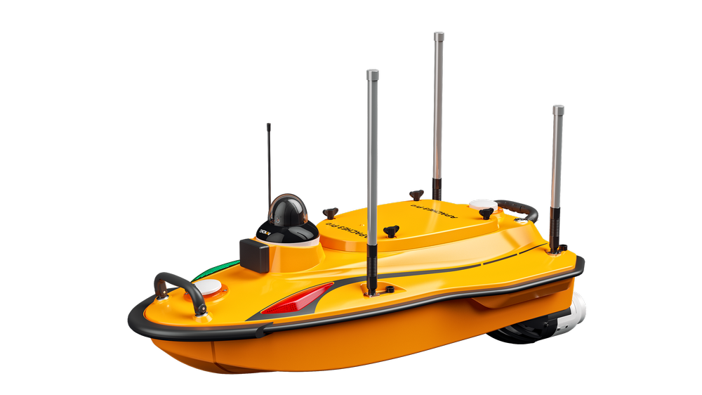
Review APACHE 3 Pro, APACHE 4 Pro and APACHE 6 by their exact supplied hull, sensors, positioning and processing configuration.
APACHE 3 Pro
Discuss hull, sensor, positioning and processing options for APACHE 3 Pro.
Explore APACHE 3 Pro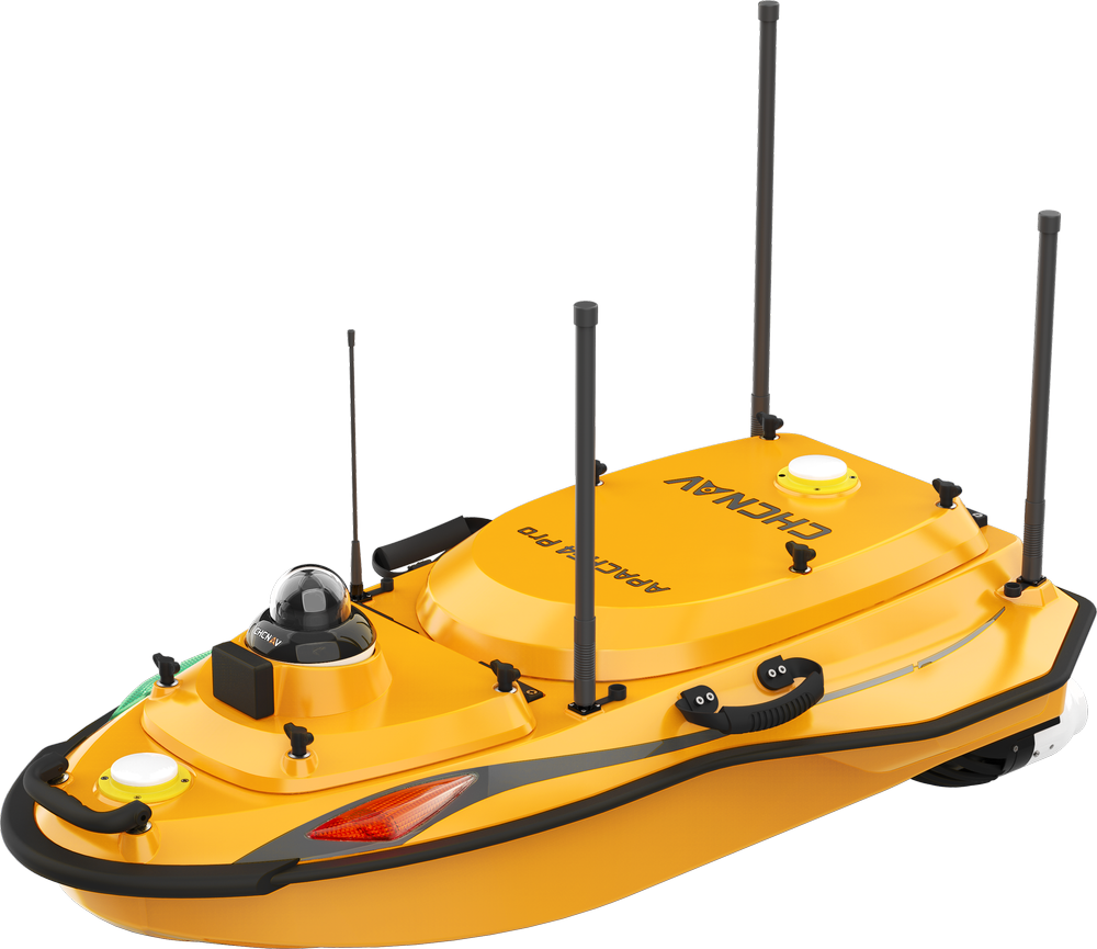
APACHE 4 Pro
Discuss hull, sensor, positioning and processing options for APACHE 4 Pro.
Explore APACHE 4 Pro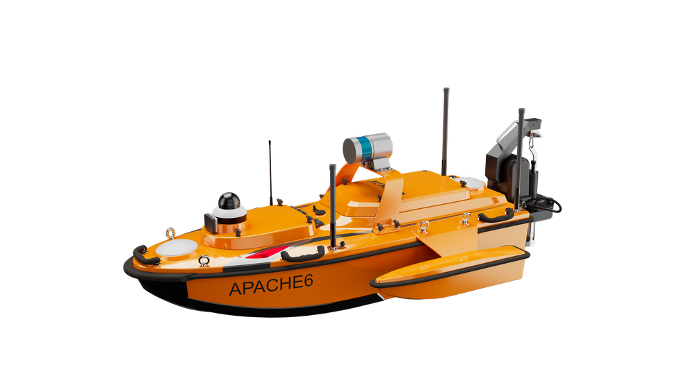
Bring the project context
- Area, depth, access and deployment conditions
- Water conditions and relevant obstructions
- Existing sensors and processing software
- Coordinate and vertical-reference requirements
- Required output and quality checks
- Transport, operation, training and support needs
Discuss a configuration
Describe your intended task and deliverable so the platform, payload and workflow can be reviewed together.
Choose the sensor for the measurement
Single-beam echosounders measure depth along a survey line. Multibeam systems measure a swath to build a more complete bed surface. Acoustic Doppler current profilers (ADCPs) measure water movement and support discharge calculations. Choose the measurement method before choosing the boat.

CHCNAV D270
Compact depth measurements along survey lines; useful for cross-sections and reservoir work.
200 kHz; nominal depth range 0.15–200 m; 0.84 kg.
Ask GLG about this optionPhoto and specifications: CHCNAV manufacturer details ↗
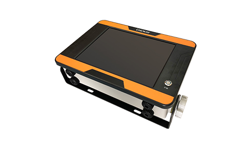
CHCNAV D390
An integrated acquisition system for depth profiles and hydrographic survey lines.
200 kHz; nominal depth range 0.15–300 m; 12-inch touchscreen.
Ask GLG about this optionPhoto and specifications: CHCNAV manufacturer details ↗

CHCNAV RS-1200 & RS-600
Measure water velocity profiles and discharge in rivers and channels, rather than treating depth alone as a flow measurement.
RS-1200: 1200 kHz; RS-600: 600 kHz; five-beam design.
Ask GLG about this optionPhoto and specifications: CHCNAV manufacturer details ↗

CHCNAV RS3600D
Dual-frequency current profiling for flow and discharge work across changing water depths.
1200 / 3600 kHz; nine-beam design; 2 kg.
Ask GLG about this optionPhoto and specifications: CHCNAV manufacturer details ↗
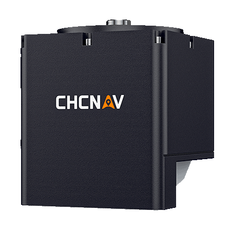
CHCNAV HQ400
Map a swath of the bed for detailed bathymetric surfaces and inspection work.
400 kHz; nominal depth range 0.2–150 m; integrated GNSS/IMU.
Ask GLG about this optionPhoto and specifications: CHCNAV manufacturer details ↗

CHCNAV D60
Compare high- and low-frequency depth returns for survey tasks requiring two acoustic frequencies.
200 / 33 kHz; nominal ranges 0.2–250 m / 0.8–1000 m respectively.
Ask GLG about this optionPhoto and specifications: CHCNAV manufacturer details ↗
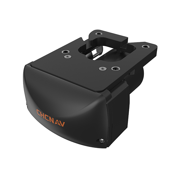
CHCNAV HN400M
Collect wider bathymetric coverage for underwater terrain and detailed surface mapping.
400 / 550 kHz; nominal depth range 0.2–200 m; up to 145° swath.
Ask GLG about this optionPhoto and specifications: CHCNAV manufacturer details ↗
| Sensor | Measurement | Useful specifications | Typical task |
|---|---|---|---|
| D270 | Single-beam echosounder | 200 kHz; nominal depth range 0.15–200 m; 0.84 kg. | Compact depth measurements along survey lines; useful for cross-sections and reservoir work. |
| D390 | Single-beam echosounder | 200 kHz; nominal depth range 0.15–300 m; 12-inch touchscreen. | An integrated acquisition system for depth profiles and hydrographic survey lines. |
| RS-1200 & RS-600 | ADCP / current profiler | RS-1200: 1200 kHz; RS-600: 600 kHz; five-beam design. | Measure water velocity profiles and discharge in rivers and channels, rather than treating depth alone as a flow measurement. |
| RS3600D | ADCP / current profiler | 1200 / 3600 kHz; nine-beam design; 2 kg. | Dual-frequency current profiling for flow and discharge work across changing water depths. |
| HQ400 | Multibeam echosounder | 400 kHz; nominal depth range 0.2–150 m; integrated GNSS/IMU. | Map a swath of the bed for detailed bathymetric surfaces and inspection work. |
| D60 | Dual-frequency single-beam | 200 / 33 kHz; nominal ranges 0.2–250 m / 0.8–1000 m respectively. | Compare high- and low-frequency depth returns for survey tasks requiring two acoustic frequencies. |
| HN400M | Multibeam echosounder | 400 / 550 kHz; nominal depth range 0.2–200 m; up to 145° swath. | Collect wider bathymetric coverage for underwater terrain and detailed surface mapping. |
Manufacturer figures are nominal operating limits, not guaranteed results for every site. Water conditions, bottom reflectivity, sound velocity, positioning, installation and quality control affect usable performance. Confirm the exact sensor, mount, power, software and APACHE variant with GLG; these are options to discuss, not included boat bundles.
Review a complete hydrographic setup