
Great Lakes Geospatial
GNSS survey equipment and handheld LiDAR scanners
Precision, from field to finish. Find the receiver, scanner or mapping system for your next job, with product details and practical buying guides in one place.
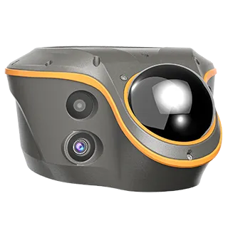
CHCNAV ViLi i100GNSS with visual and LiDAR capture.
Equipment
Find your field workflow.
Start with the work. Then compare the equipment, software and support the job calls for.
GNSS & surveying
Compare receivers, controllers and correction options for measurement and layout.
Explore GNSS & surveying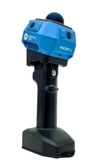
Handheld scanning
Explore point-cloud capture, processing and delivery for buildings and sites.
Explore Handheld scanning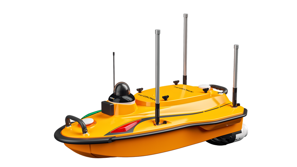
Hydrographic surveying
Start with the water conditions, sensor configuration and required survey output.
Explore Hydrographic surveying
Aerial & mobile mapping
Explore aircraft and mobile-mapping systems for a defined mapping workflow.
Explore Aerial & mobile mappingFeatured systems
A closer look at the equipment.
Explore practical differences, configuration questions and the next step for your crew.

Pocket2
From $3,495.00 · Buy online
Handheld SLAM scanning with configuration choices.
Choose your Pocket2Choose with evidence
How to choose a GNSS receiverCompare CHCNAV i89, i93, i85 and ViLi i100 by field task, capture method, corrections and complete setup. Plan a useful GNSS equipment demo.How to choose a handheld LiDAR scannerChoose a handheld LiDAR workflow for point clouds, building documentation and visual review. Compare processing, checks, software and total cost.Pocket2 and Pocket2 Pro buying comparisonCompare Pocket2 and Pocket2 Pro hardware, imagery, storage and software. See when to include CHCNAV RS7 in a same-workflow demonstration.Survey equipment demo checklistPrepare a fair GNSS or handheld scanner demo. Record accuracy checks, total working time, file compatibility and the complete quoted setup.